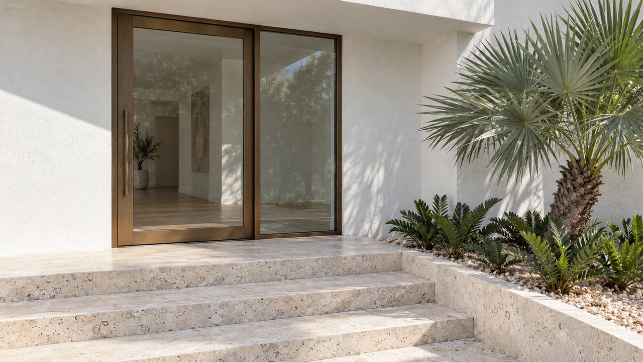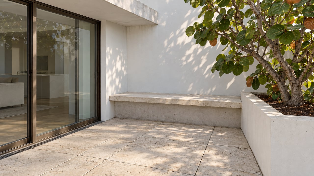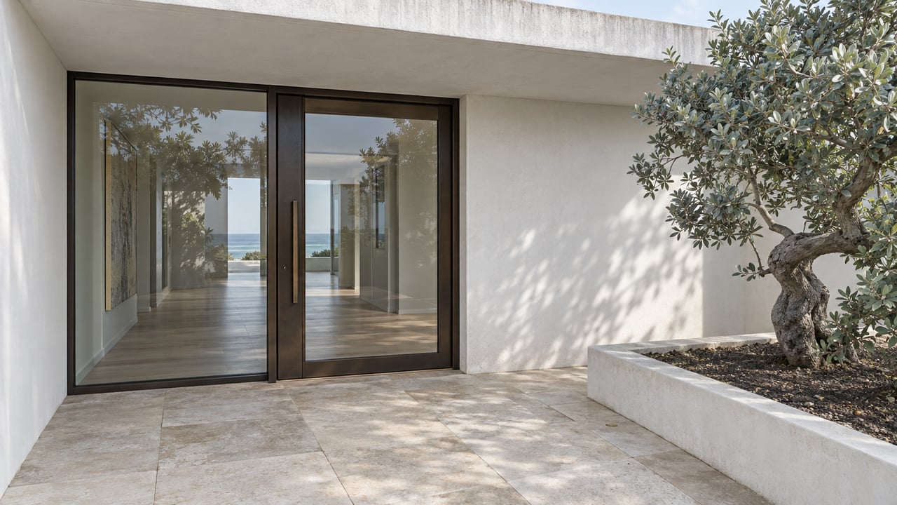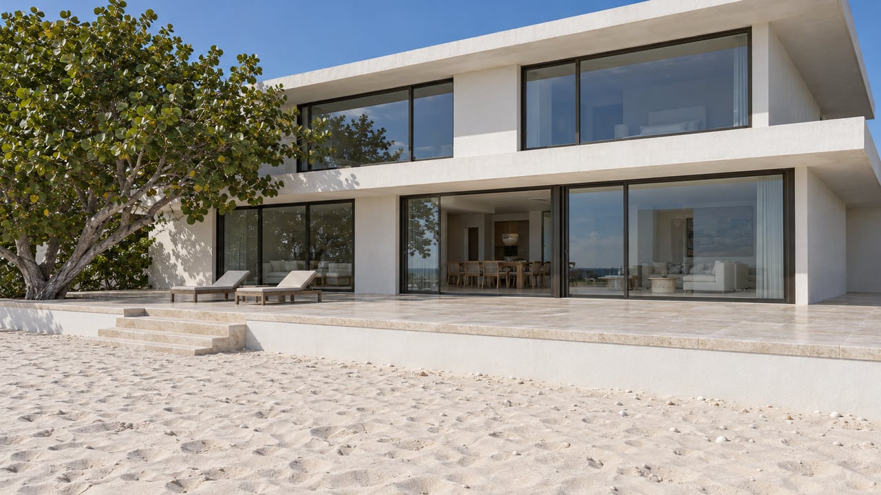
A buyer touring a Gulf-front home in Belleair Shore will hear that the deed runs past the seawall and onto the sand. The town's own beach page says so. It also says that private ownership is why Belleair Shore is excluded from publicly funded beach renourishment. The same page adds that owners' deeded rights "extend to encompass both the erosion control line and the mean high-water mark." The first of those two lines was recorded by the state in 1997. Under Florida law, it decides where private land stops. In 2026 the town decided to try to erase it.
That case is now pending before Florida's Division of Administrative Hearings. Until it is resolved, anyone buying a Gulf-front lot in Belleair Shore is buying a boundary that is being challenged in a state administrative proceeding, along with a town tax rate that rose about 75% to pay for the fight.
What the 1997 line actually does to a lot
An erosion control line, or ECL, is set when the state carries out a beach restoration project. The Pinellas Current describes it as "the legal boundary between privately owned beachfront property and state-owned land seaward of it," and notes that nothing on the beach marks where it runs.
The governing statute is short. Under Florida Statutes section 161.191, once the survey is recorded, "title to all lands seaward of the erosion control line shall be deemed to be vested in the state," and title landward of it belongs to the upland owners. The second clause matters even more to a buyer. After the line is set, "the common law shall no longer operate to increase or decrease the proportions of any upland property lying landward of such line, either by accretion or erosion."
Without an ECL, a Gulf-front boundary follows the mean high-water line. It moves when the beach grows or shrinks. With an ECL, it stays put. If sand builds up seaward of the line, the lot does not grow. The U.S. Supreme Court reviewed this framework in Stop the Beach Renourishment v. Florida Department of Environmental Protection in June 2010. It held that no taking occurred on those facts and described the ECL as a fixed boundary that replaces the shifting high-water line.
So in Belleair Shore, a Gulf-front parcel's seaward edge was fixed in 1997, and the sand beyond that line is state land. The town's case against the line explains why that matters.
The sand the town says it never received
Belleair Shore argues that the line was recorded in error. Its position is that no beach restoration project was carried out inside its borders, so the line should never have applied there. "We're correcting an error," Vice Mayor Daniel Storie said at a May meeting, as The Pinellas Current reported. "An error that took private property from residents of Belleair Shore."
The Florida Department of Environmental Protection reads the history differently. When it denied the town's petition on June 23, the agency found that the 1997 project had been completed within the time the law requires. That makes the line ineligible for cancellation. It also found that Florida law does not allow only part of an ECL to be vacated. According to Tampa Bay 28, the department also noted that Belleair Shore "received sand from adjacent placements during multiple nourishment events starting in 1998, and as recently as 2018."
That leaves two accounts of the same shoreline. The town says public projects stop at its border because its beach is private. The state says sand from those projects has drifted onto the town's beach for twenty years. Both accounts can hold at once, because sand placed on neighboring beaches can drift along the shore while a recorded ECL stays fixed.
Pinellas County's most recent nourishment project on Sand Key finished construction, and its dune planting was complete by May 21, 2026, according to the county project page. At the town's May 19 meeting, Mayor Steve Blume said post-nourishment surveys had been done the year before and that he had asked the county for copies. It would cost about $2,000 to give every owner a copy, and commissioners agreed to wait until the ECL question is settled.
Five months, three state decisions, one open question
The case has moved quickly for an administrative proceeding.
- May 19, 2026. The town commission voted unanimously to apply to remove the ECL, after reporting that the required signatures had been collected.
- June 23. FDEP denied the petition.
- July 21. The commission voted to appeal.
- August 21 and 27. Pinellas County and the City of Belleair Beach each filed an unopposed motion to intervene, as listed on Belleair Beach's case page.
- August 31. FDEP dismissed the first hearing petition without prejudice and with leave to amend. It found the petition did not allege support from owners of a majority of the lineal feet along the full 2.89-mile ECL.
- September 14. The town filed an amended petition. It counts only its own segment and states that owners of 3,866 of 5,433 riparian feet, about 71%, signed. It asks to void the line between reference monuments R-66 and R-71.5.
- October 12. FDEP found the amended petition sufficient and referred it to the Division of Administrative Hearings. The Pinellas Current noted in its October 13 update that the agency had not ruled on the merits.
Steps five and six turn on the question of whose majority counts. Section 161.211 allows an ECL to be cancelled on a petition from a majority of owners when construction was not started on time or stopped for more than six months. FDEP measured that majority along the whole line. The town measures it along its own shore. The October referral lets a hearing take up the amended version. It does not decide which measure is correct.
The fight now has a line on the tax bill
The cost of this fight already shows up in the town's tax rate. Belleair Shore's FY 2025/2026 final budget set a millage of 0.5345. The FY 2026/2027 final budget sets it at 0.9354. When the tentative rate was approved on September 3, minutes recorded it as 81.88% above the rollback rate. The Pinellas Current reported that the commission gave final approval on September 21. It also reported that Mayor Blume cited mounting legal costs from the appeal as a major reason for the increase.
Here is what the change means for the town's share of a property tax bill at a few taxable values:
| Taxable value | FY 2025/26 at 0.5345 mills | FY 2026/27 at 0.9354 mills | Change |
|---|---|---|---|
| $1,000,000 | $534.50 | $935.40 | +$400.90 |
| $3,000,000 | $1,603.50 | $2,806.20 | +$1,202.70 |
| $5,000,000 | $2,672.50 | $4,677.00 | +$2,004.50 |
These amounts cover only the town's line on the bill. On a Gulf-front estate, the dollar figures are small next to the asset. What a buyer should note is the pace of change: one year, a 75% increase, and a stated purpose.
The budget itself is modest. For FY 2026/2027, Belleair Shore expects $251,518 in ad valorem revenue against $319,575 in total income. Its largest expenses are a $72,000 law enforcement contract and $55,000 for insurance. The "Professional Services - Legal" line is $22,000, up from $20,000 the year before. The budget does not list ECL legal costs as a separate item. The budget also carries $81,758 in fund balances and reserves. A buyer comparing the published rate with the published spending can ask the town how the two connect.
What this changes in a Gulf-front purchase
Building activity continues. At its June 16 meeting, the town counted 11 homes in active construction. For anyone buying or rebuilding here, three practical points follow from the record.
- The seaward boundary on a survey is the 1997 ECL, and it stays there until a ruling says otherwise. Accretion seaward of it does not add land to the lot under section 161.191.
- The case could go either way, and others are involved. Belleair Beach and Pinellas County filed to intervene. The Pinellas Current reported one prediction that the dispute could reach the state's highest court.
- The tax rate reflects a policy choice. The rate was set while the case is active. A buyer's carrying-cost estimate should use the 0.9354 rate, not the prior year's.
This post is general information about public records and state law. It is not legal, tax or survey advice. Buyers and owners should confirm how the ECL applies to a specific parcel with a Florida real estate attorney and a licensed surveyor.
Questions buyers are asking
Does the ECL mean the public can use the sand behind a Belleair Shore home? The statute gives the state title to land seaward of the line. The town's ordinances, posted on its beach information page, govern conduct on the town's beach areas and access lots. How those two sets of rules interact on a specific stretch of sand is the kind of question the pending case may affect.
If the town wins, would lots get bigger? The town's petition asks to void the line between R-66 and R-71.5. If that happened, boundaries there would no longer be fixed by the ECL. Whether a particular lot would gain or lose land would depend on the shoreline and on how the ruling is written. That ruling has not been issued.
When will there be a decision? As of the October 13 update in The Pinellas Current, the case had been referred to the Division of Administrative Hearings, and the merits remained undecided.
If you own Gulf frontage in Belleair Shore or are thinking about buying it, the boundary deserves the same attention as the floor plan. Chenault Group follows this case filing by filing. We can pull the public record for the parcel you're considering, including the survey, the new town tax rate and the latest case filings, and work alongside your attorney and surveyor as they tell you what it means for your lot. Request a Private Market Consultation, and we'll start with the records that show where your land ends.